- Editorial:
- HARVEY MAPS
- Año de edición:
- 2011
- Materia:
- Guies i mapes excursionisme escocia
- Idioma:
- English
- ISBN:
- 978-1-85137-453-3
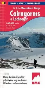
CAIRNGORMS & LOCHNAGAR XT40 HARVEY
Spectacular map of the Cairngorms high plateau and surrounding hills with an extension on reverse to cover Lochnagar and Glen Shee.
"Inspiring map of much of Scotland's newest National Park with masses of information for walkers, mountain bikers and mountaineers. And it is virtually indestructible." Nigel Williams, Head of Training, Glenmore Lodge
Printed on polyethylene - durable, tear-proof and 100% waterproof
Made in cooperation with the British Mountaineering Council and the Mountaineering Council of Scotland
Colour shading for easy identification of hills and valleys
Detailed crag information for climbers
Less than half the weight of a laminated map
Geological map of Cairngorms & Lochnagar specially designed by the British Geological Survey
Mountain incident and first aid advice
Tips on using your map and compass
Useful local phone numbers and websites
"The 1:40,000 scale used by British Mountain Maps is excellent for hill walking. The map provides clear, detailed information to one of the most popular hill walking areas in Britain." Chris Bonington
Current edition published 2011


