
- Editorial:
- GEM TREK PUBLISHING
- Año de edición:
- 2020
- Materia:
- Guies i mapes excursionisme canadà
- Idioma:
- English
- ISBN:
- 978-1-895526-96-7
- Encuadernación:
- Mapa plegat
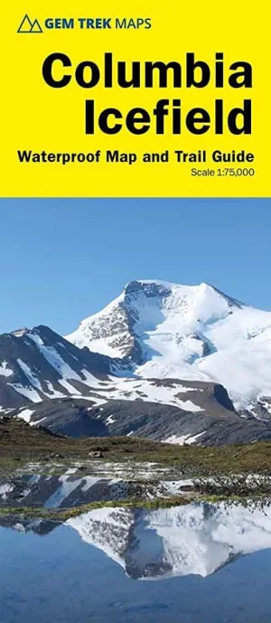
COLUMBIA ICEFIELD GUIDE AND MAP 1:75.000
AA.VV
Updated for 2021 with satellite imaging showing current glacial extents, Gem Treks COLUMBIA ICEFIELD MAP is designed for hikers and outdoor enthusiasts looking to explore North Americas largest icefield south of Alaska. Located beside the Icefields Parkway, the Columbia Icefield is both spectacular and accessible. Whether you are touring along the parkway and taking an Ice Explorer out onto the Athabasca Glacier or heading off to explore the surrounding wilderness on foot, youll find our waterproof and tear-resistant Columbia Icefield Map an invaluable tool for making the most of your visit.
This Columbia Icefield Map features detailed cartography, accurate hiking trails with distances, and details such as glacier flow direction and drainage routes. Campgrounds and highway viewpoints are also marked.
In addition to the map, this product is a user-friendly guide to the Columbia Icefield. It includes detailed descriptions of what to see and do at the icefield, recommended hiking trails, a wildlife-viewing guide, answers to frequently asked questions (How big is the Columbia Icefield? How deep is the ice? Why is the glacial ice blue? And many more), and a list of the highest surrounding mountains.
Columbia Icefield Map Coverage
Our Columbia Icefield Map covers the entire Columbia Icefield, which lies at the southern end of Jasper National Park, straddling the provincial border dividing Alberta and British Columbia. It also extends north to Beauty Creek and the Brazeau Loop Trail (southern section only) and south to Castleguard Mountain.
Popular hiking trails on the Columbia Icefield Map include Stanley Falls, Wilcox Pass, Toe of the Glacier, Parker Ridge, and Nigel Pass.
Columbia Icefield Map Features
The Columbia Icefield Map includes:
waterproof and tear-resistant paper
contour lines at 60-metre (200-foot) intervals
relief shading to better show the topography
full colour on both sides
hiking trails - with trail names and trail distances marked
hydrology rivers, glaciers, and waterfalls
mountain names and all available mountain elevations
all campgrounds
points of interest and attractions
picnic areas
highway viewpoints