
- Editorial:
- SIDARTA
- Año de edición:
- 2017
- Materia:
- Guies i mapes excursionisme eslovènia
- Idioma:
- English-Deutsch
- Encuadernación:
- Mapa plegat
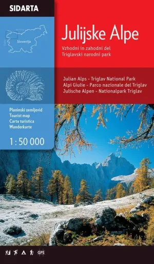
JULIAN ALPS 1:50.000 (SIDARTA)
EASTERN & WESTERN PART, TRIGLAV NATIONAL PARK
12,00 €
IVA incluido
En stock
12,00 €
IVA incluido
En stock
Añadir a favoritos
One of the few maps that covers the entire territory of the Julian Alps, from the westernmost Jôf Fuart on the Italian side to the Lake Bled in the east. Beside the waymarked paths, unmarked trails and ski tours the map includes also: sports climbing areas, natural and cultural points of interest and paragliding take-off sites. GPS, WGS84.